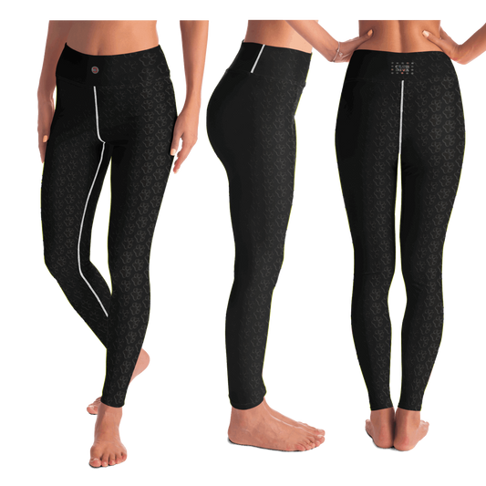
Collection: Terrain Contours Collection
Terrain contours are imaginary lines that join points of equal elevation on a map. They are used to show the shape and relief of the land surface, such as hills, valleys, mountains and plateaus.
They can help people navigate and visualize flat and steep terrain. Lines close together indicate a rapid change in elevation, while those that are far apart indicate a gradual change in elevation
-
Activewear for Divas | Get your next all-over-printed crop top designed just for you!
Prix habituel Du €53,25 EURPrix habituelPrix unitaire / par -
Activewear for Divas | Get your next pair of mesh leggings designed just for you!
Prix habituel Du €52,50 EURPrix habituelPrix unitaire / par -
Activewear for Divas | Standout at yoga practice, get your next pair of dog paw pattern leggings designed just for you!
Prix habituel Du €52,00 EURPrix habituelPrix unitaire / par -
Activewear for Divas | Standout during aerobics, get your next pair of flared leggings designed just for you!
Prix habituel Du €59,99 EURPrix habituelPrix unitaire / par -
Petrol Head Accessories | Upgrade your car interior with these customizable seat covers
Prix habituel Du €69,99 EURPrix habituelPrix unitaire / par -
Petrol Head Accessories | Upgrade your car interior with these customizable seat covers
Prix habituel Du €69,99 EURPrix habituelPrix unitaire / par -
Activewear for Divas | Get your next pair of capri leggings free style designed just for you!
Prix habituel Du €52,50 EURPrix habituelPrix unitaire / par -
Activewear for Divas | Trendy and versatile crop top makes you look and feel amazing
Prix habituel €53,25 EURPrix habituelPrix unitaire / par -
Football Shirts | Show off your love for football and cars with this stunning football jersey.
Prix habituel Du €52,00 EURPrix habituelPrix unitaire / par -
Desk mat | BX 1.9 GTi. Give your auto shop, home office or cave some automotive flair or personalize it with an artist's impression of your own beast for something truly unique.
Prix habituel Du €19,00 EURPrix habituelPrix unitaire / par


